TURNPIKE ROAD
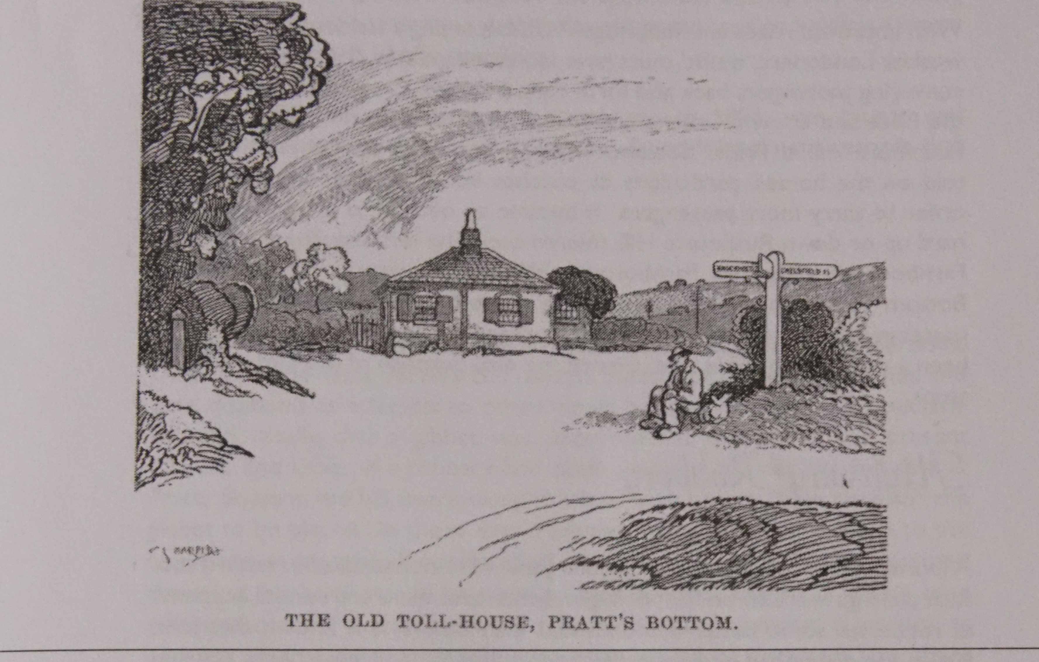
Farnborough was the largest village on the Bromley to Sevenoaks section of the ancient road from London to Hastings. This was turnpiked by act of parliament in 1749. To the North was the road between New Cross and Bromley, turnpiked in 1719, while to the south the next link was Sevenoaks to Tonbridge (1709). The local turnpike gate was at Pratts Bottom, see the panel to the right.
This link in the wider turnpike network was unique in southern England because of the number of route changes made during its lifetime. These are described in the pages on this part of the website, see menu to the right, and can still be traced on the ground today, despite the obscuring effect of the road changes carried out when the M25 was constructed.
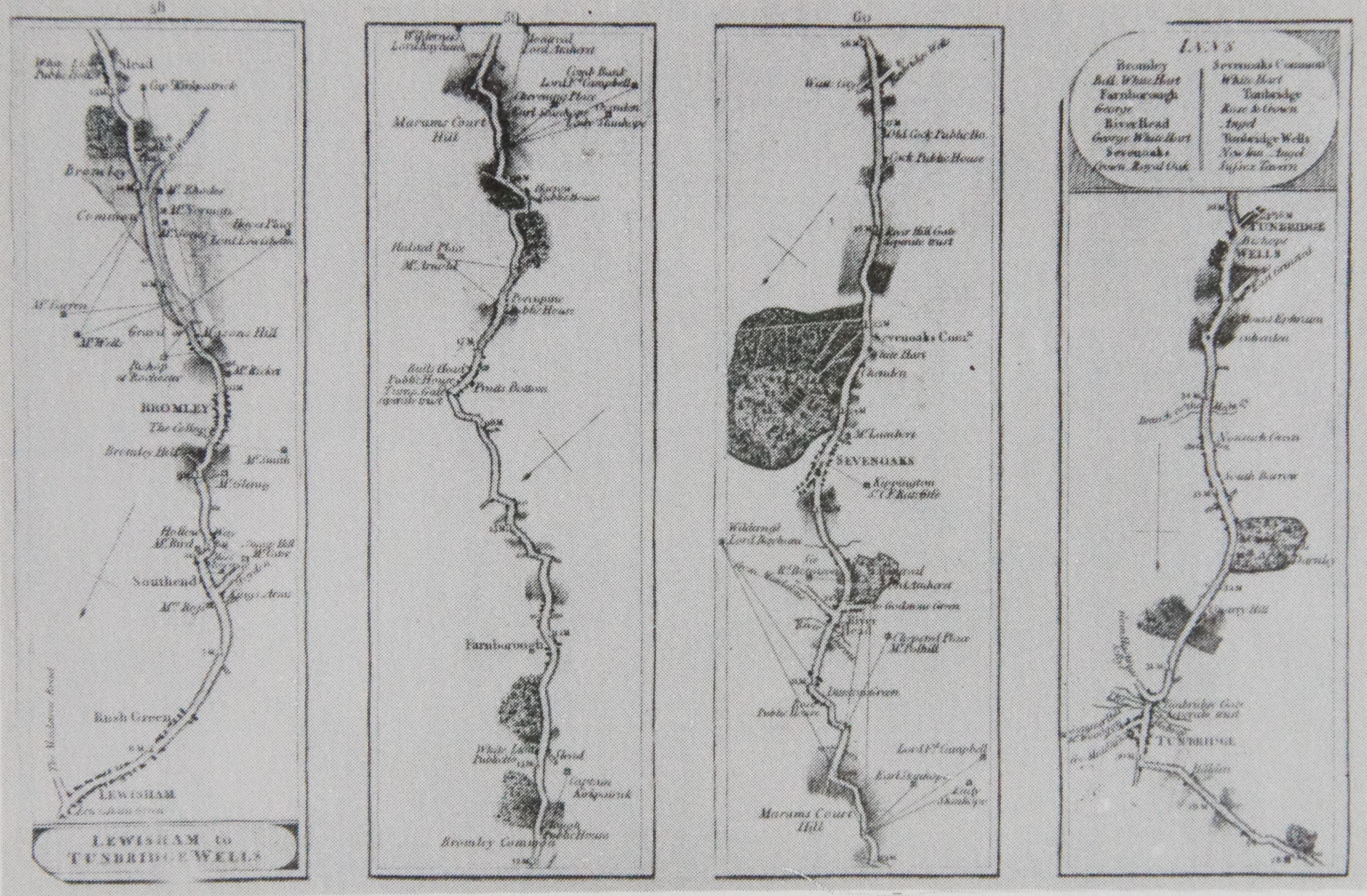
This is an engraving of the origonal route between Lewisham and Tenterden, although of rather poor quality reproduction. North is at the bottom, and the route is described working south from left to right across the four panels. Farnborough is in the second panel.
Prior to its turnpiking the road was described in 1748 as 'greatly in decay by reason of the great and heavy carriages passing through and had become 'very bad in the Winter season', being in places very narrow and incommodious'. (Warlow C.H. 'History of Halstead' 1934)
The Original Route
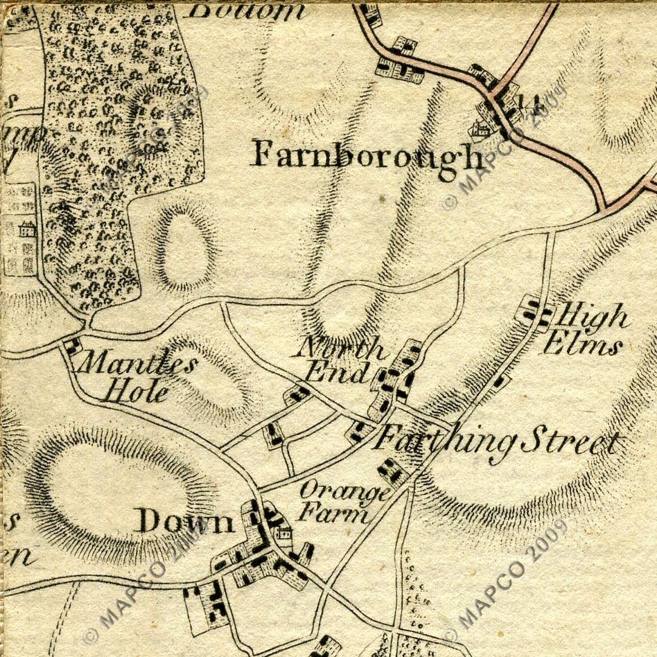
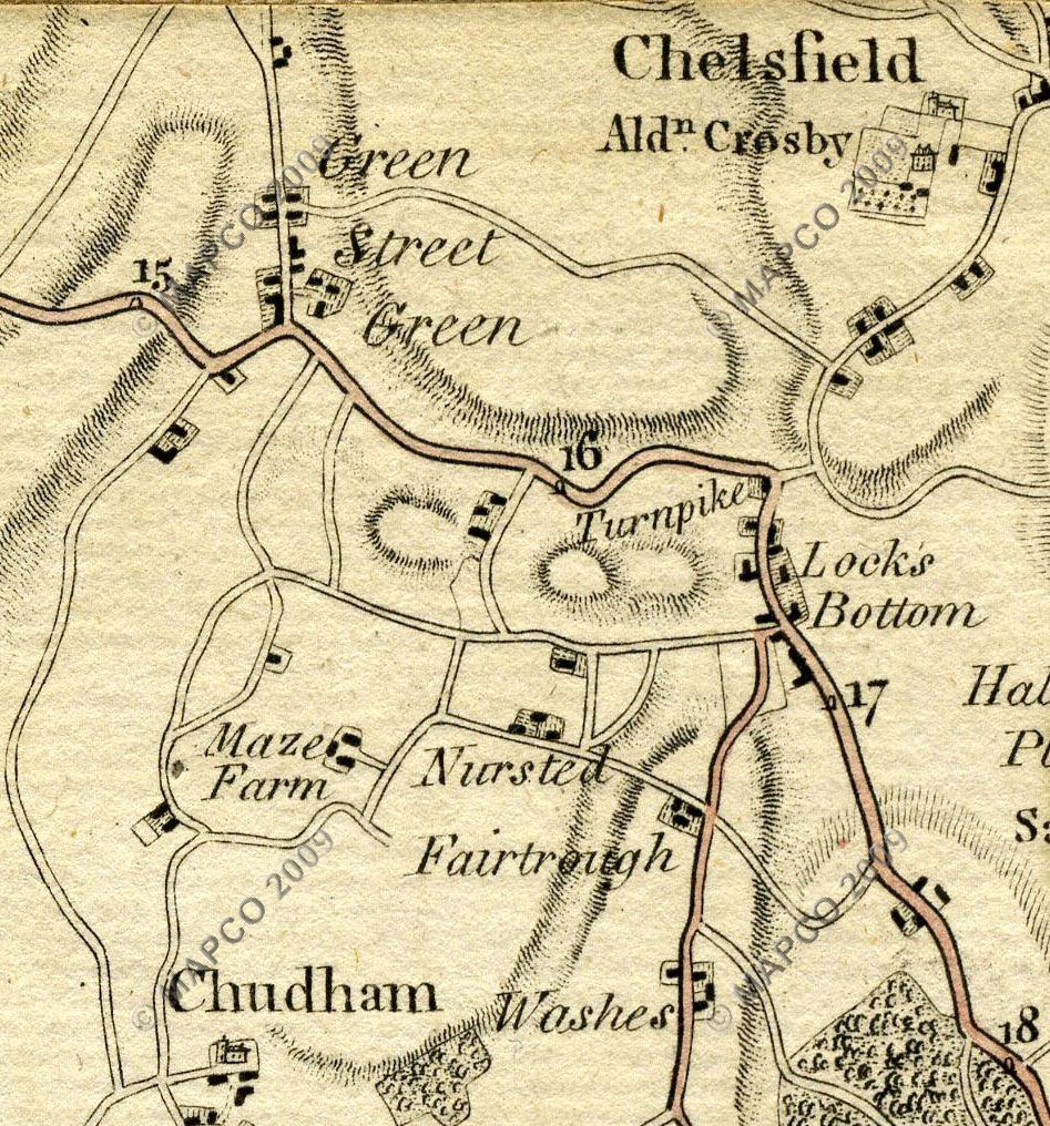
The map extracts below are from "Map Of North West Kent 1789, by William Faden". This was a precursor to the Ordnance Survey map series. Please note that comparison with later maps including Ordnance Survey reveals that they do contain inaccuracies in the precise routing of some of the roads shown.They show the roads and turnpike around Farnborough before the first of the number of changes in route, that took place during the first half of the nineteenth century.
This page tracks the original route - further pages in this part of the website describe the later changes, mostly minor but one quite extensive.
Click on the map and photos to enlarge.
|
|
|
Source:
Survey
Of North West Kent 1789 Maps: copyright David Hale and the MAPCO : Map And Plan Collection Online website at www.mapco.net. |
|
One aspect of the map surprising to our eyes is that the main road through the village leading to Farnborough Hill and then onward to Green Street Green is absent. Instead the main, in fact only, road is what is today named Church Road, but was then called just 'The High Road'. It can also be seen that Tubbenden Lane extends further than it does today, and meets the High Road at about the site of the modern telephone exchange. This may explain the sideways orientation of some of the cottages at that location.
The reason why Farnborough Hill was not built until later, enabling the route of the Turnpike to then be changed to go through Green Street Green, is that this was then much wetter than now - it lies in fact along what is now a dry valley. But it is known that in the past it had marshy ground, and indeed a stream with a bridge over it. The stream fed into the River Cray, that today rises in Orpington. Green Street Green village was sparsely populated until later in the nineteenth century. The ground would have been unsuitable for use as a main road, which obliged the turnpike to use what would seem to be the more arduous route over Old Hill.
Following the Route
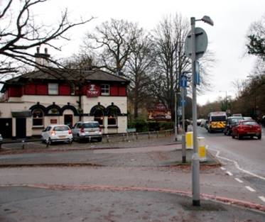
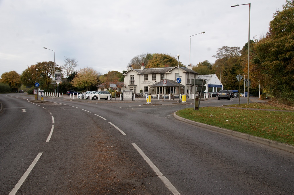
The turnpike section started in Market Square Bromley, then the route took the road directly along what is now the A21 Hastings Road. It passes the modern site of The Crown at Bromley Common (below left), and continues to Locksbottom.| |
 |
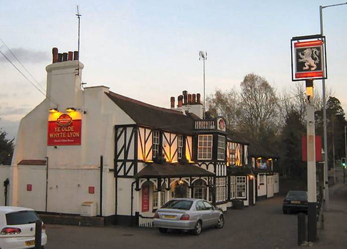 |
At Locksbottom it passes Ye Olde Whyte Lion pub (above right) which dates from 1642, before the start of the Turnpike Age
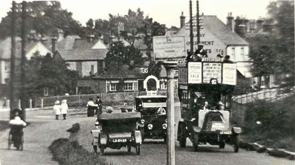 |
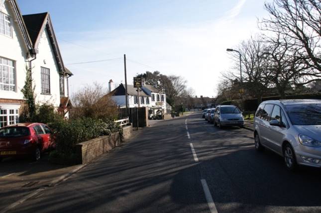
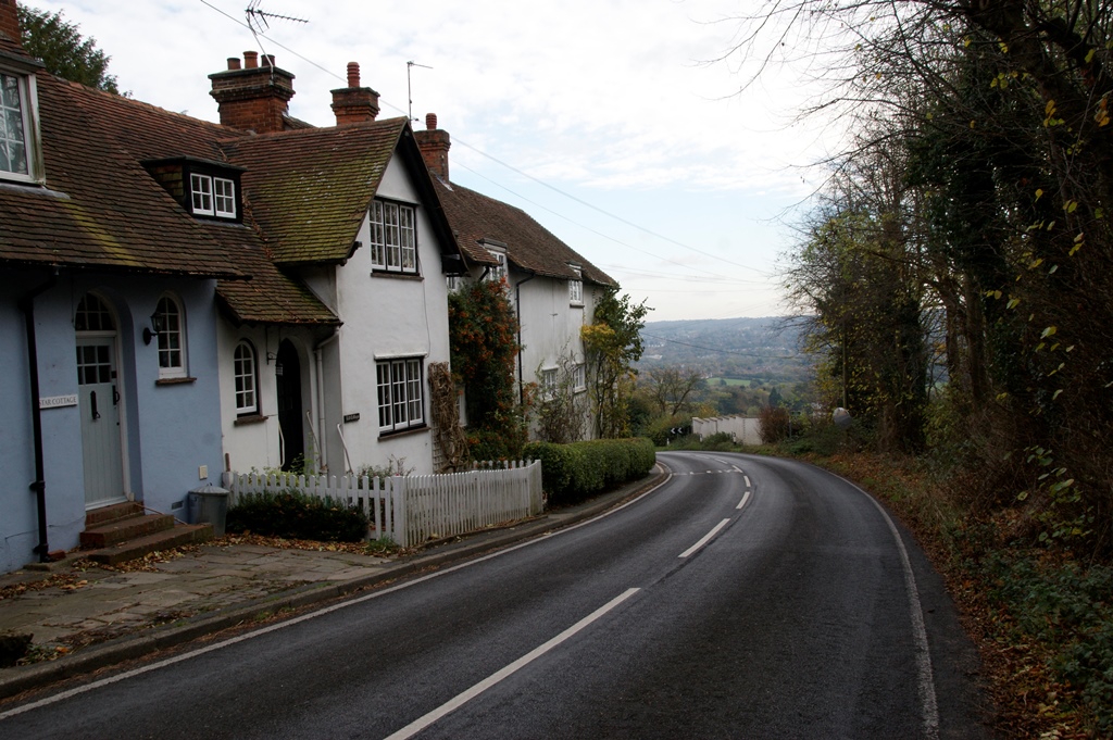
It then follows the old main road to the right to enter Farnborough Village. Farnborough bypass was not built and opened until 1927.
 |
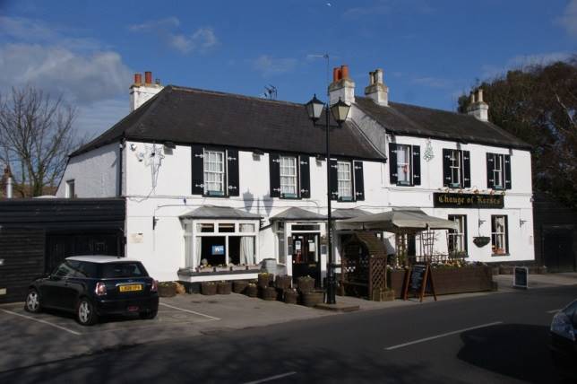 |
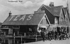
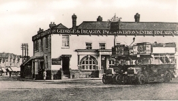
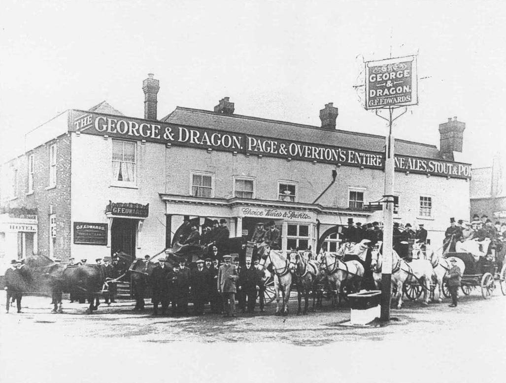
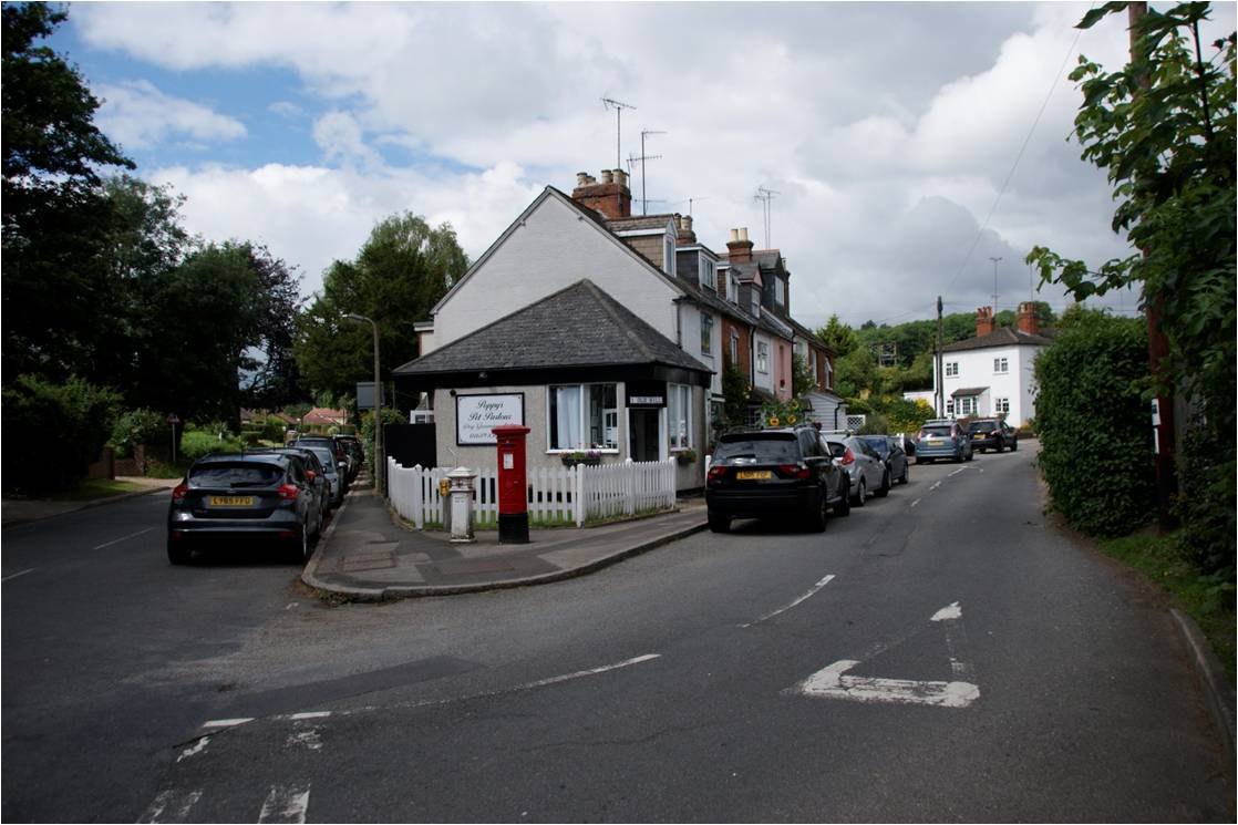
In Farnborough it passes what is now the Change Of Horses pub, but which was then called the New Inn, to reach the most significant building on the route, the old George and Dragon Inn. This is known to have had extensive accommodation for travellers..
 |
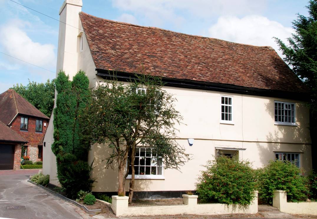 |
At the George and Dragon the route swings to the right to pass what used to be Farnborough Post Office, also St. Giles church, and onward down to meet Shire Lane. Today's main road through the village was not built until later, after which there was the final change.to the turnpike route.
 |
 |
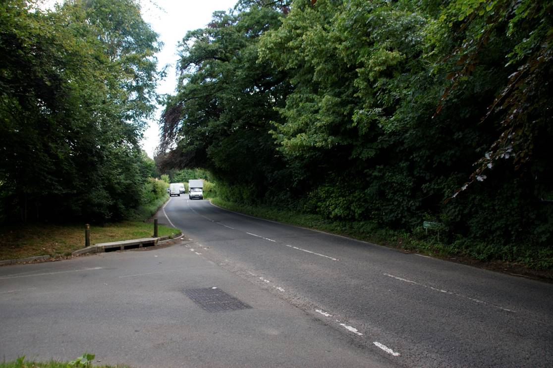
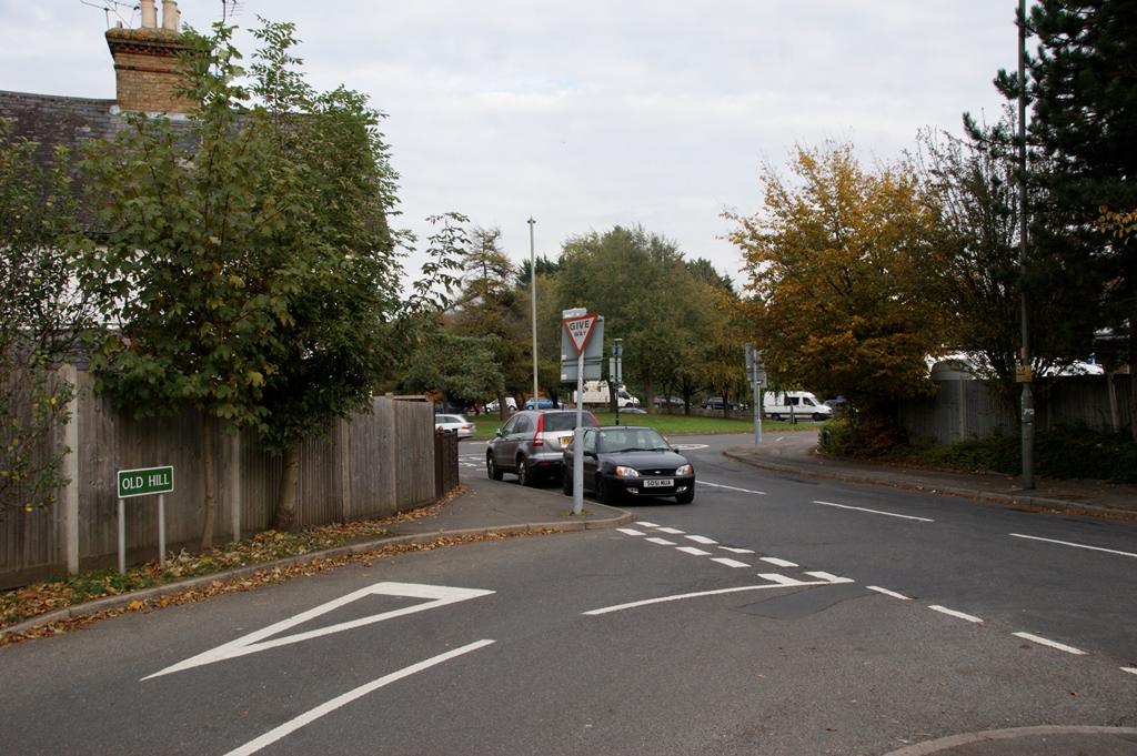
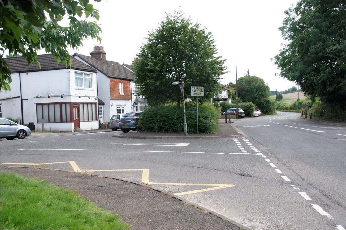
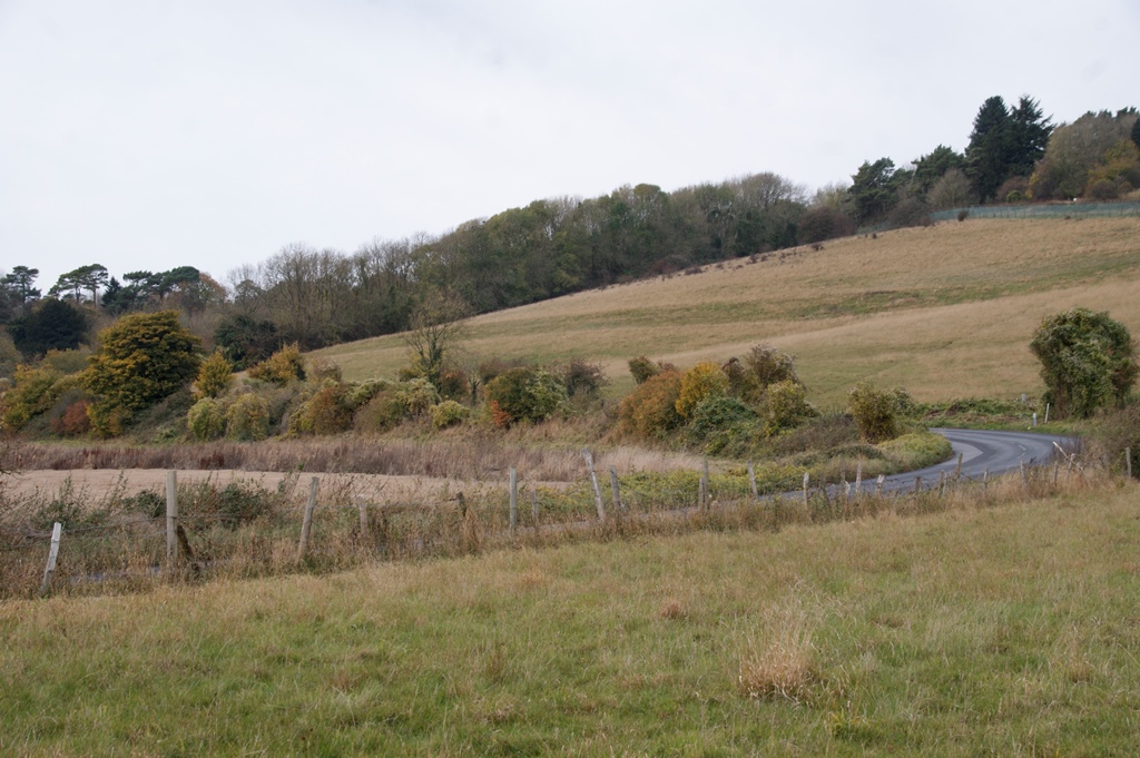
At Shire Lane, the route turns left for a short distance, then right to climb up Old Hill. It then descends again to the junction at Green Street Green to rejoin the route of today's A21 at what is now a major roundabout. The cottage with the post box where Old Hill briefly joins Cudham Lane North shown in the photo (right) has the address No. 1 Old Hill.
 |
 |
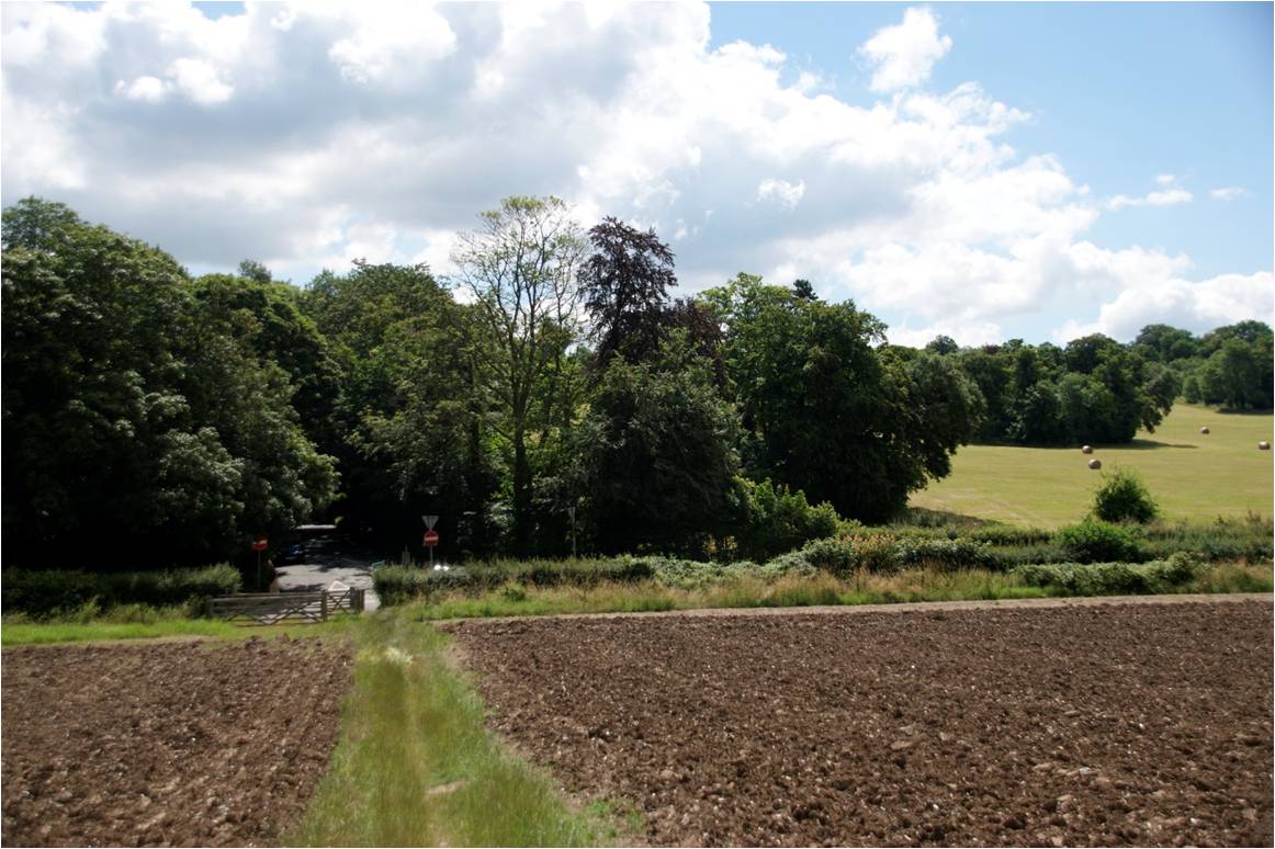
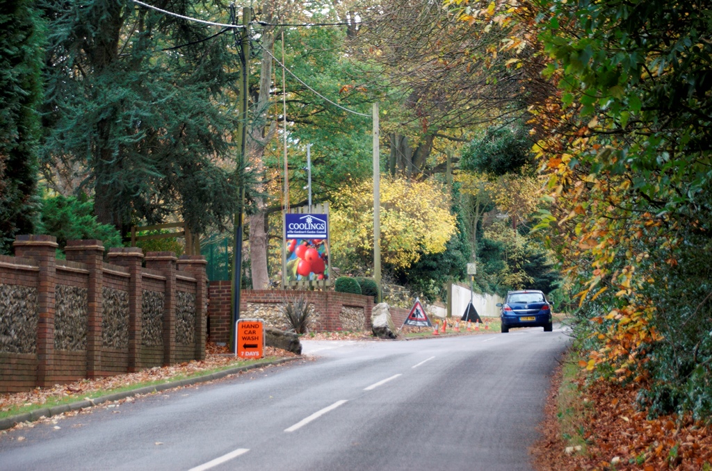
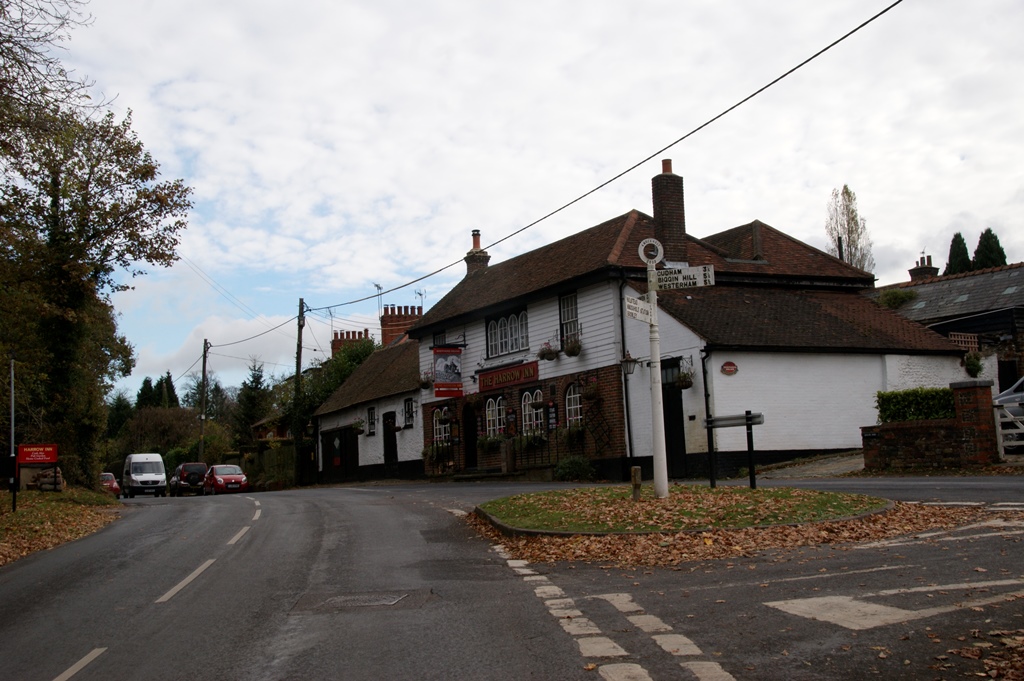
The turnpike leaves today's A21 again at Pratts Bottom, turning right to start the climb up Rushmore Hill, past the present location of Coolings Garden Centre to enter Knockholt.
 |
 |
 |
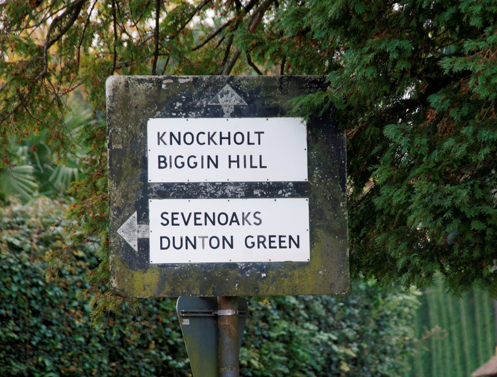 |
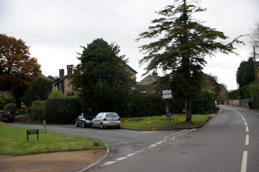
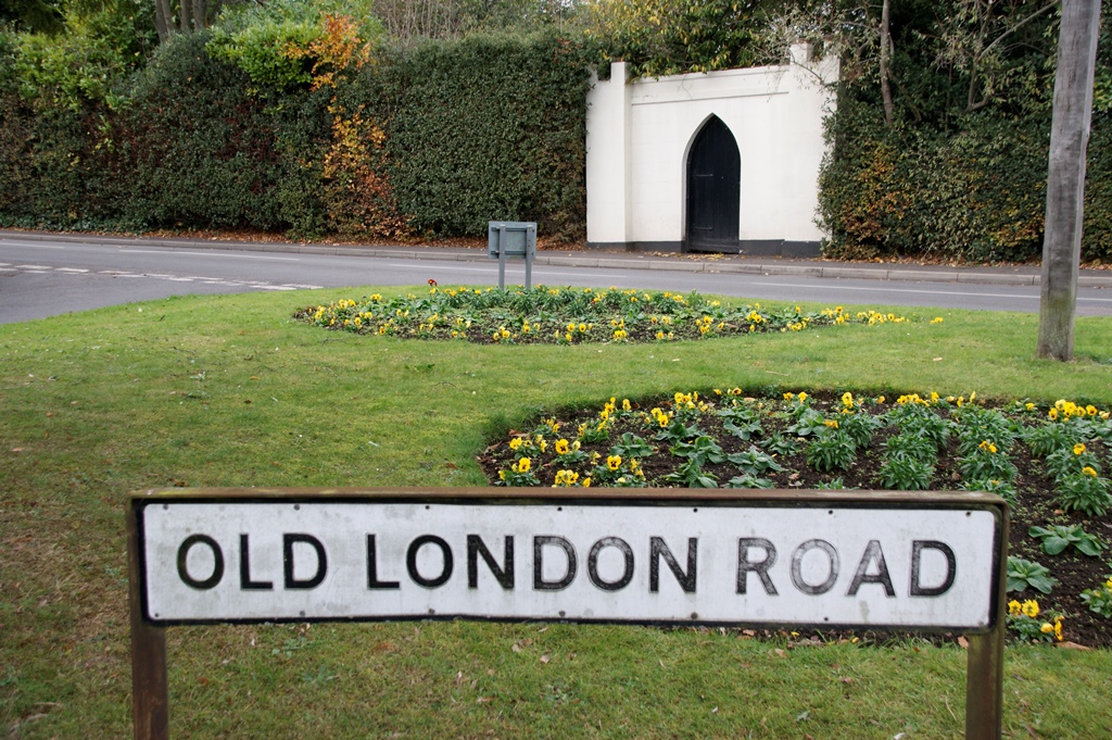
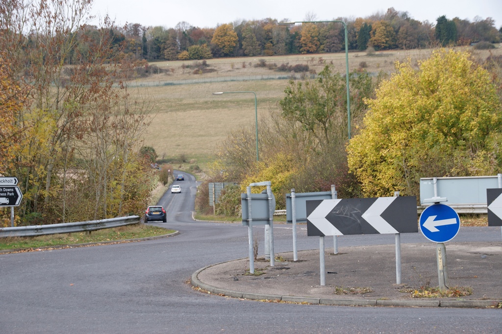
At the turning shown in the photos the turnpike swings to the left to head toward Dunton Green. As can be seen the road here is still called "Old London Road"
 |
 |
 |
 |
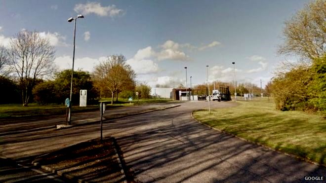
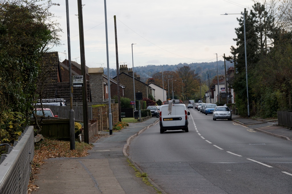
Passing the entrance to what is now the Fort Halstead complex, the road then descends steeply toward Dunton Green, via the modern roundabout shown in the photograph.. There was quite a lot of disruption to road patterns in this locality when the M25 was built.
 |
 |
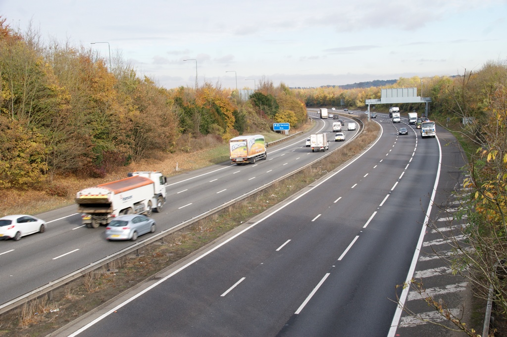
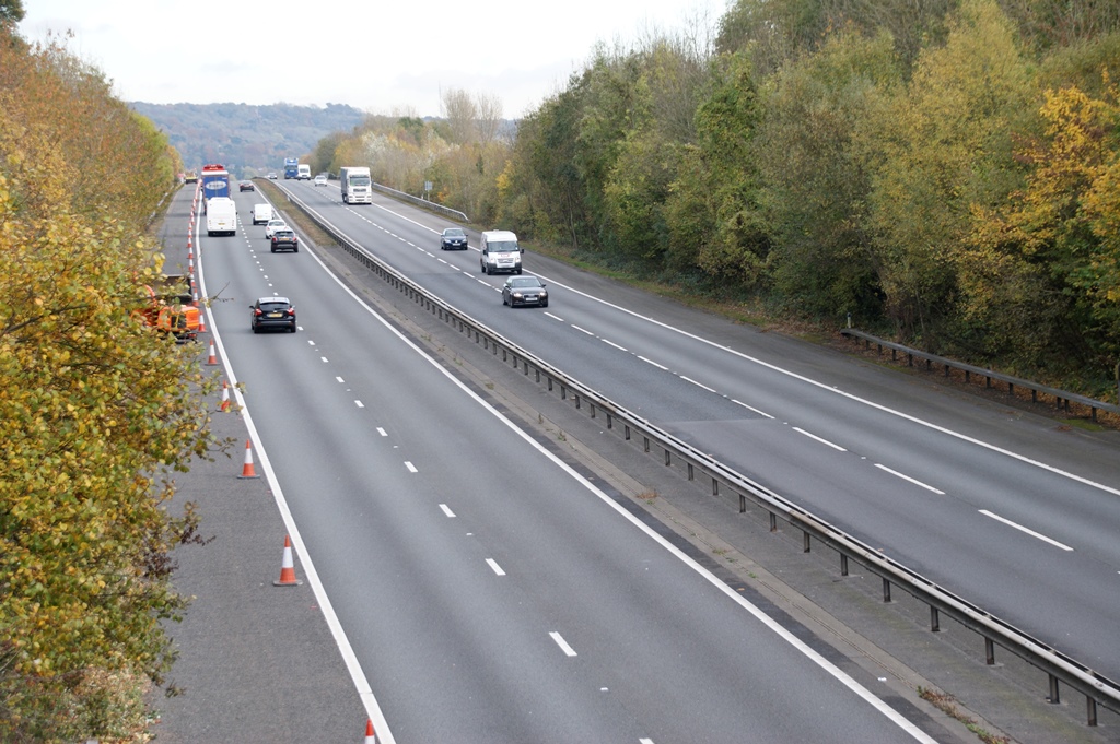
Crossing the M25 the turnpike reaches the junction shown in the second photograph below, approaching it at this time from the road shown on the left, although this would later change.
 |
 |
 |
 |
Finally the route crosses the M26 by a further bridge and proceeds through Dunton Green, Riverhead and then up the long hill into Sevenoaks.
TURNPIKE
Rushmore Hill
Toll Gates were placed at regular intervals. This contemporary drawing depicts the gate at Pratts Bottom, at the foot of Rushmore Hill
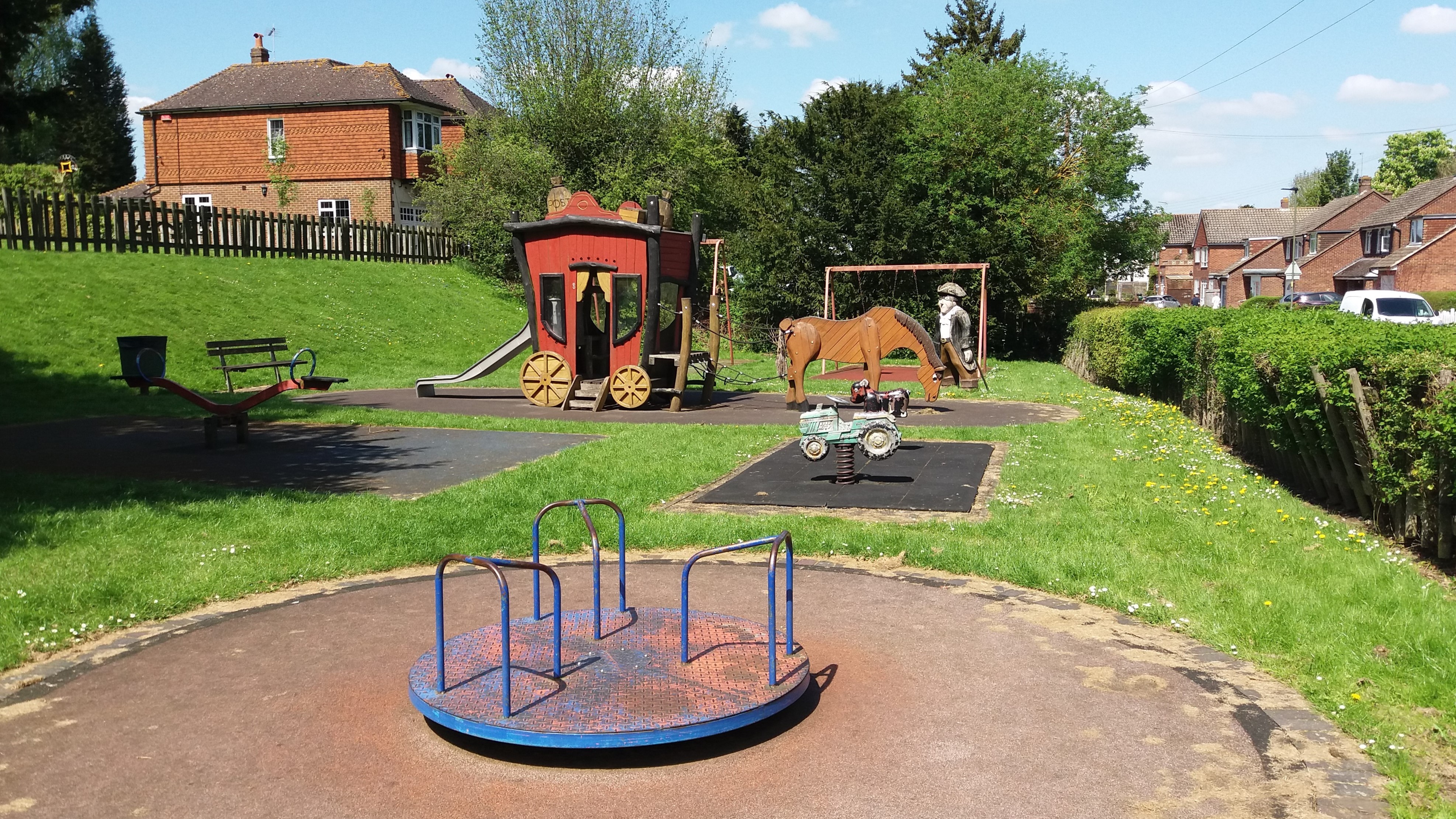
In the nearby Children's playground there was for many years this amusing reminder of past history. Sadly it was removed during the recent refurbishment.
Click on images to enlarge
Care of Horses
The hilly nature of the route must have told on the horses, particularly as coaches became larger and heavier.in order to carry more passengers. It became an offence to drive horses too hard up or indeed down Rushmore Hill. The passage over Old Hill between Farnborough and Green Street Green would also have presented its challenges.
The less arduous routes down Farnborough Hill, and the new road from Pratts Bottom came many years later.
Refreshments for the passengers were almost as necessary as a change of horses, for it cannot have been a comfortable ride, hence the dual purpose of the inns as coach stops.