
OUTSIDE FARNBOROUGH PARISH
This part of the website has a number of articles about places associated with Farnborough but not in the modern parish.
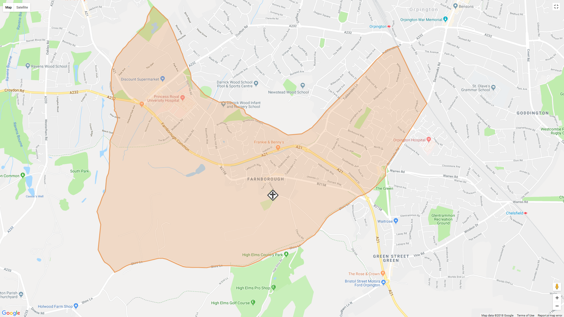
This map shows the current boundaries for the parish of Farnborough, which includes Locksbottom and parts of Orpington in addition to the immediate village area. Before 1938 it also included Green Street Green, as this is when the new parish of Green Street Green and Pratts Bottom was created, by taking areas from both Farnborough and Chelsfield Parishes.
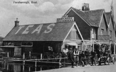
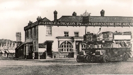
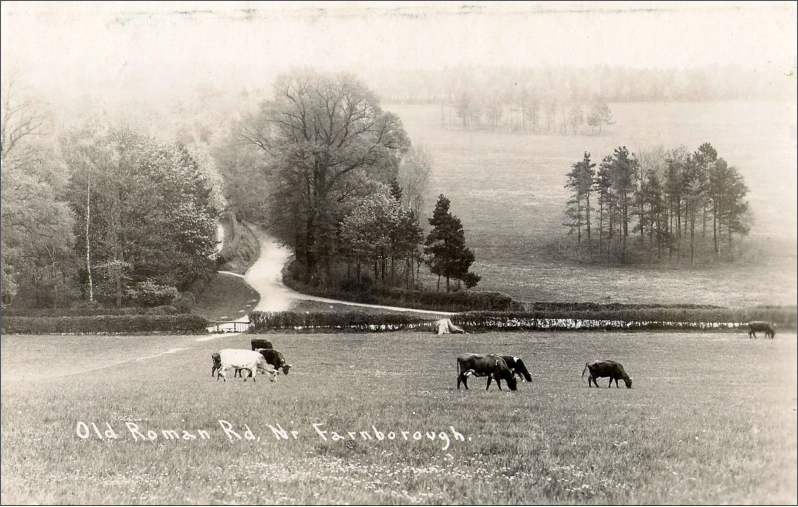
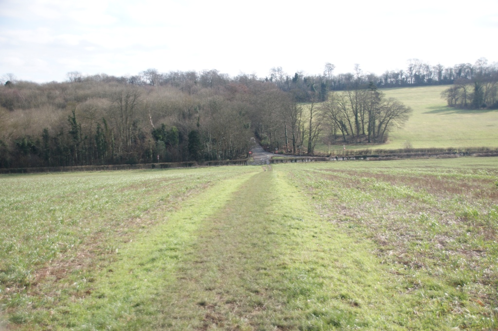
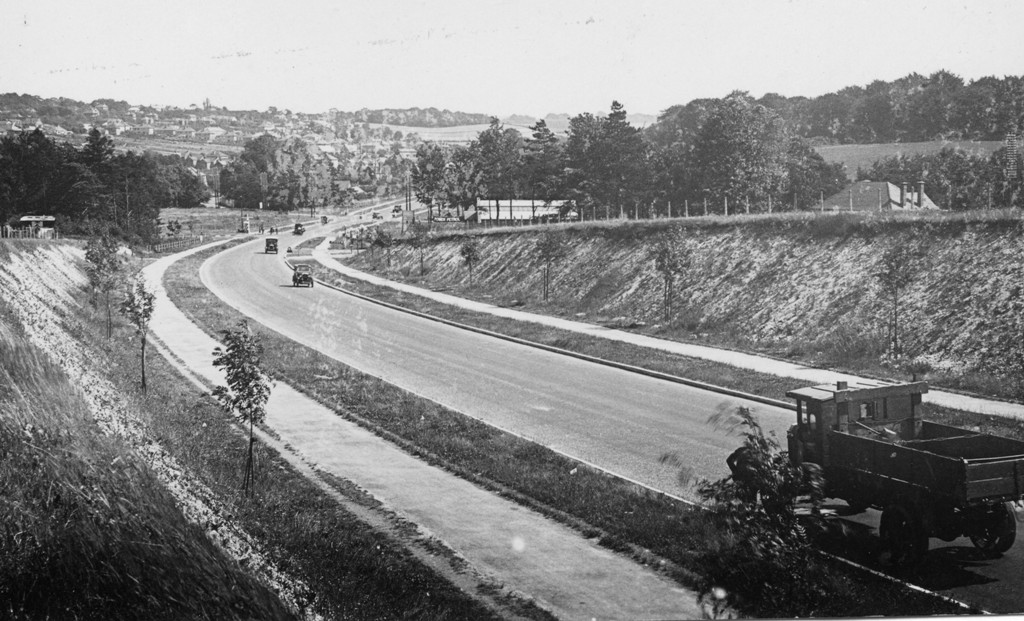
The photos on this page are from the early years of the twentieth century, contrasted with the same locations seen today. Click to enlarge.
To the south lies the High Elms estate. The Lubbock family have a long and enduring relationship with Farnborough, through the purchase of the estate in the early nineteenth century, and its subsequent expansion and development.
 |
 |
| Old Hill (former Turnpike Road) | |
The turnpike road originally passed down Church Road in Farnborough then up Old Hill. Later, after the road down Farnborough Hill had been improved, the route changed to go through Green Street Green village. Farnborough bypass was opened in 1927.
 |
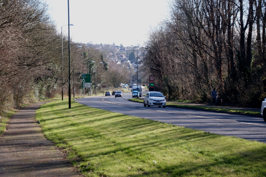 |
| Farnborough by-pass - opened 1927 | |
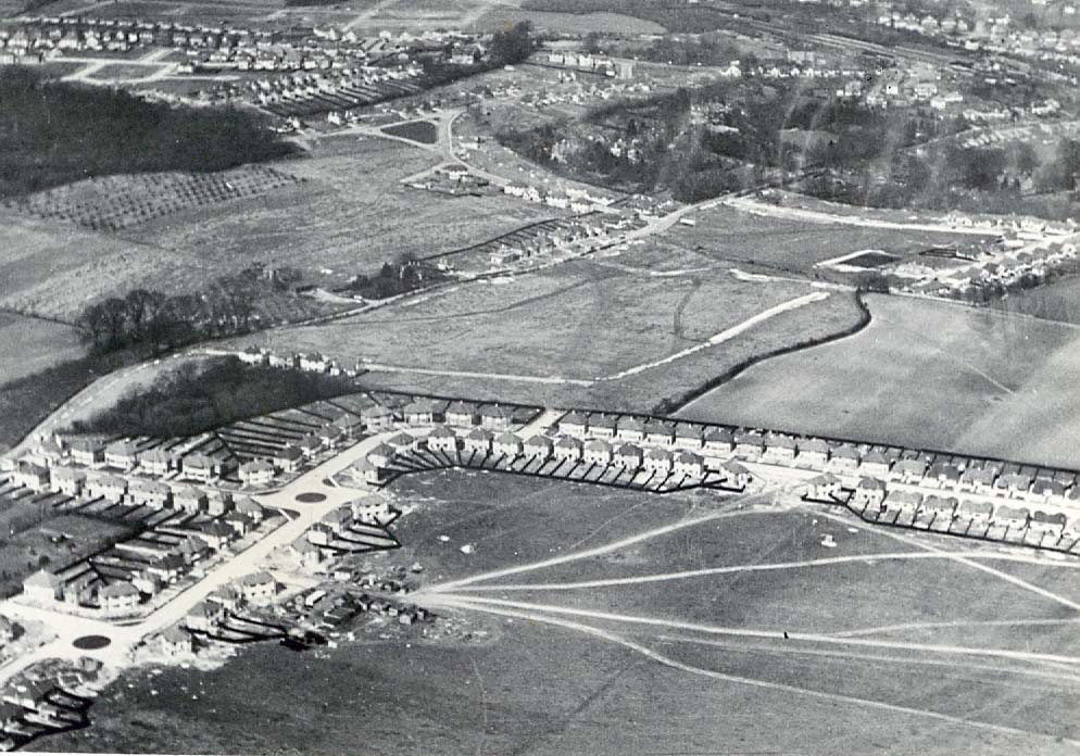
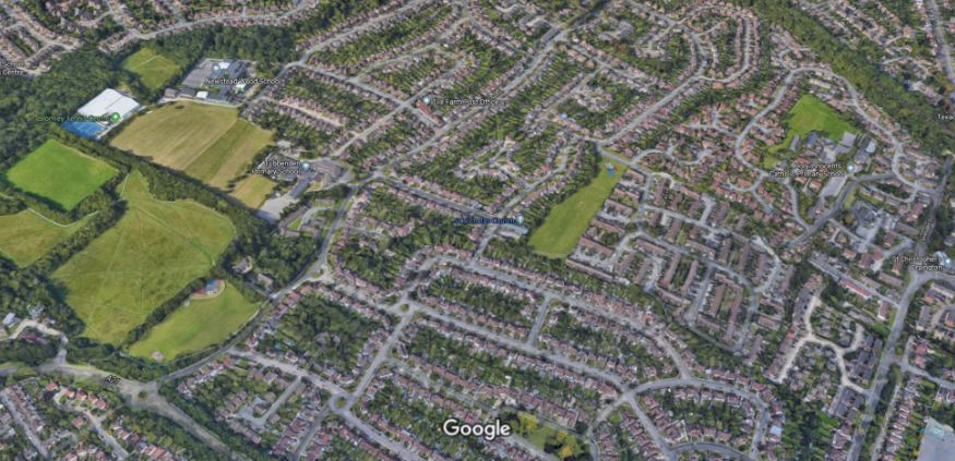
Before and After the Second World War there was a major influx of new housing, particularly in what had been farmland between Farnborough and Orpington. The first photo below dates from 1937.
 |
 |
| Tubbenden Lane looking
north-east toward Orpington |
|