TURNPIKE ROAD - FARNBOROUGH HILL
The first change was the diversion of the route after the George and Dragon to create the High Street and Farnborough Hill down to Green Street Green; and then continue through that village to rejoin the original route at the far end of Old Hill. This may also be when the High Road was renamed Church Road.
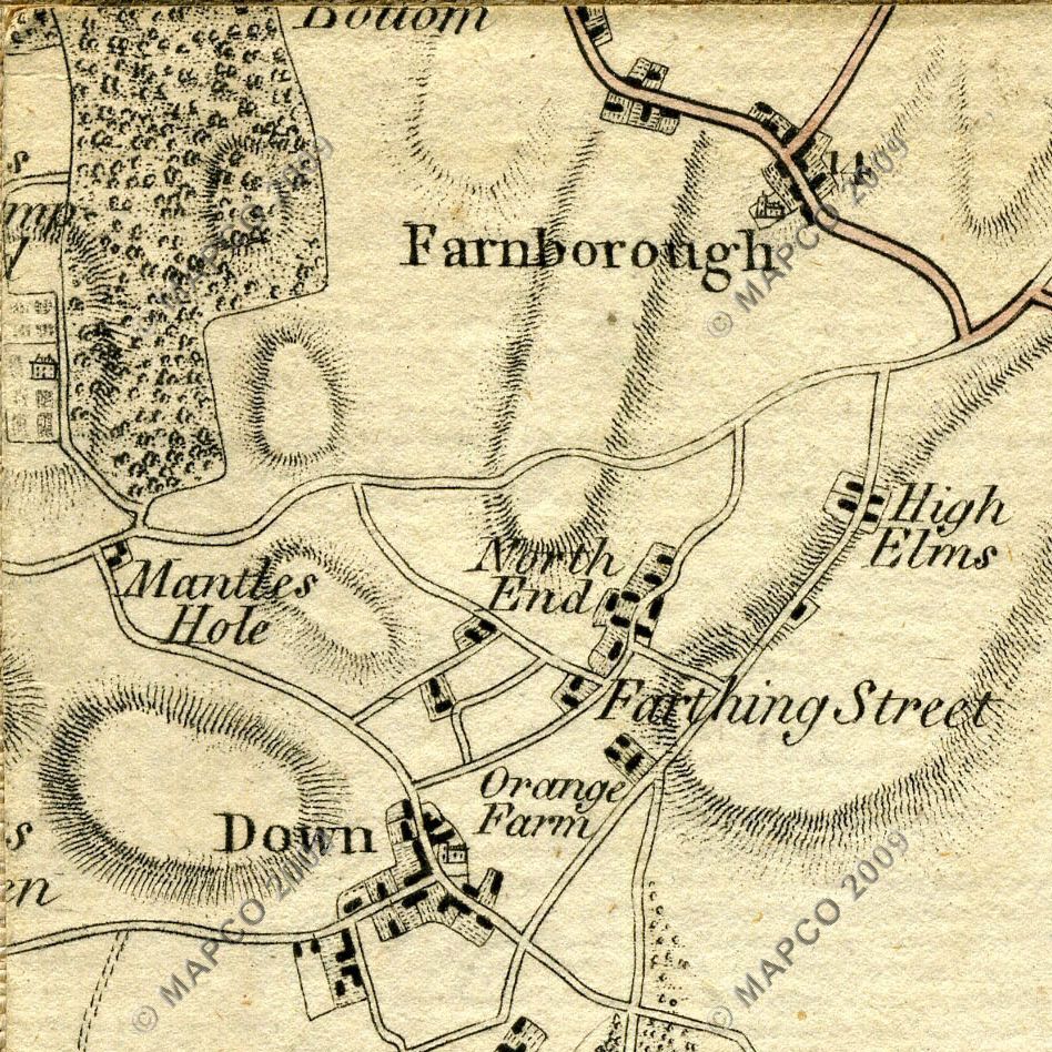
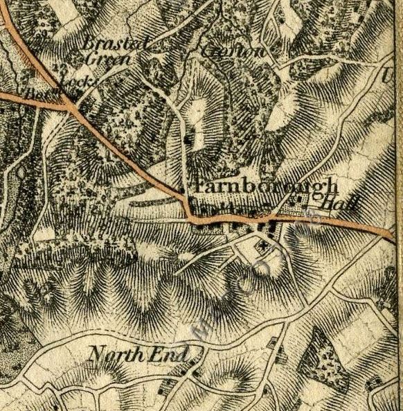
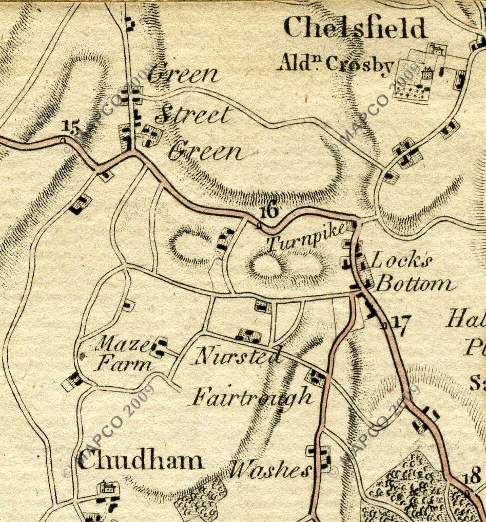
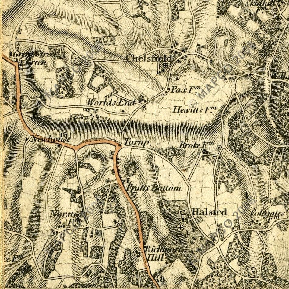
It is not known exactly when this change to the turnpike route took place, but it was certainly made possible some time between 1789 and 1801, as can be seen by comparing these two versions of these maps. Please note that comparison of these maps, also with later Ordnance Survey maps, reveals that the earlier ones do contain inaccuracies in the precise routing of some of the roads shown.
 |
 |
 |
 |
Sources:
Survey Of North West Kent 1789
Survey Of The County Of Kent, With Part Of The County Of Essex 1801
Maps: copyright David Hale and the MAPCO : Map And Plan Collection Online website at www.mapco.net.
One odd feature is that in the earlier map Locks Bottom is shown at the foot of Rushmore Hill, with the location we know today simply being called Locks. This may just be a mapping error. In the second map the name has been changed to Pratts Bottom.
The route from Farnborough down to Green Street Green may have existed as a track before 1800, but it is not shown on the first map, and was clearly not suitable for heavy coach traffic. But by the beginning of the nineteenth century the naturally marshy ground in Green Street Green had been drained, enabling the road to be improved. As a consequence Green Street Green had started to expand from what had previously been little more than a hamlet, and the turnpike route was changed to use Farnborough Hill and run through Green Street Green.
Later the labour of returned Crimean War veterans was used to even up the gradient from top to bottom of the hill, and give the road a hard surface.
The revised route was easier for the horses than the previous one over Old Hill. It also enabled businesses in Green Street Green to benefit from turnpike-related trade.
 |
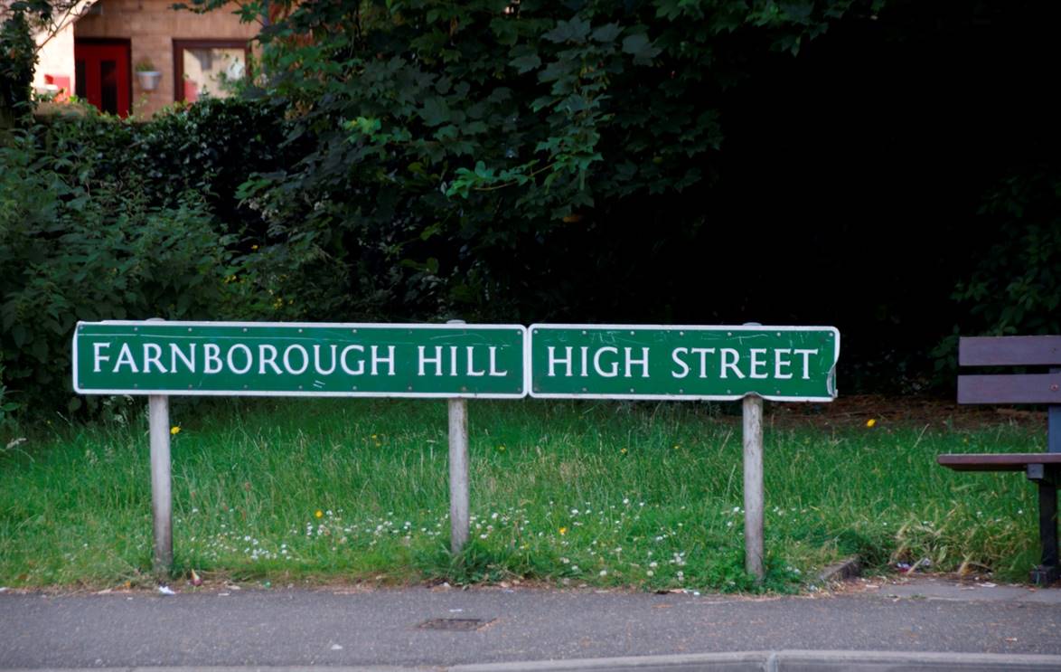 |
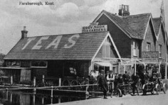
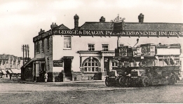
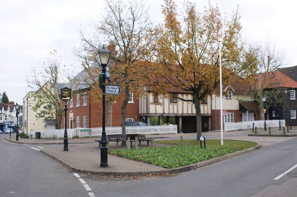
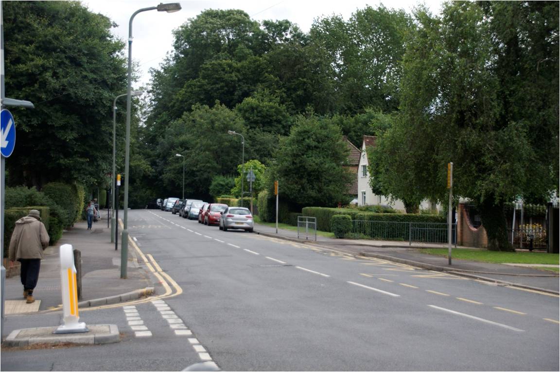
The new route started in the village, taking the path along the High Street to the left of the modern housing shown above, which is on the site of the old George and Dragon. The start of the new Farnborough Hill road is indicated by these modern roadsigns opposite Tubbenden Lane South. The route then proceeds down Farnborough Hill, across Farnborough Bypass, built in 1927, to enter Green Street Green.
 |
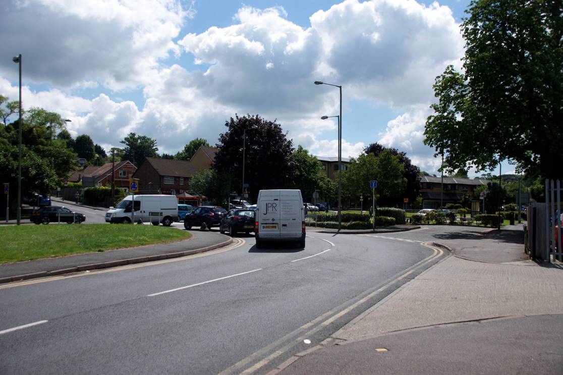 |
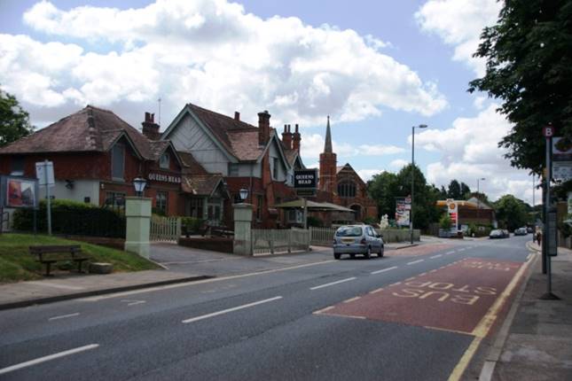
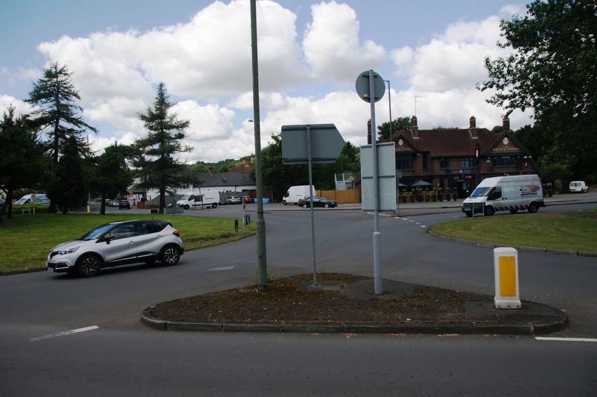
The route then runs through Green Street Green to rejoin the original one at today's roundabout. In the photo below right the original route is in the distance where Old Hill emerges on the far side of the roundabout. Farnborough bypass is seen in the middle right where the van is joining, and the new route emerges from the right in the foreground having passed through Green Street Green.
 |
 |
Church road ceased to be the main thoroughfare through the village and is today a mostly quiet lane. Old Hill is still quite busy, and is now one-way in the direction south to north, except for a short section at the Green Street Green end to provide access to housing.
TURNPIKE